


Public domain
Service area / Allocation of uses
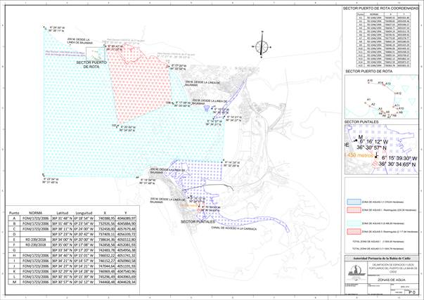
The public domain service area is defined in the Port Spaces Utilisation Plan.
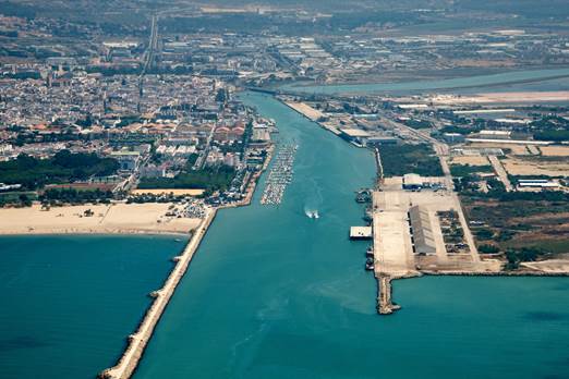
The land service area of the Port of the Bay of Cadiz is made up of the areas between the edge of the waters of the Bay and the inner line that separates it from the rest of the municipalities in which it is located.

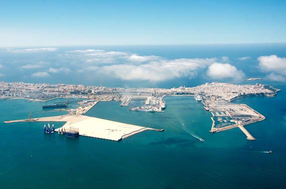
Municipal district of Cadiz
- Darsena of Cadiz
- Free Zone
- Nautical-Sports area od the district of la Paz (Viento de Levante)
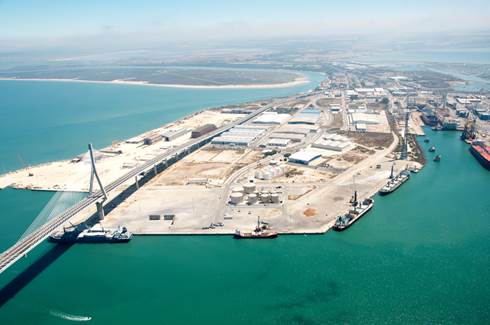
Municipal district of Puerto Real
- La Cabezuela – Puerto Real
- Ciudad Quay
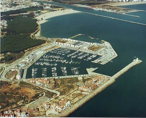
Municipal district of El Puerto de Santa María
- Right side of Guadalete river
- Left side of Guadalete river
- Puerto Sherry
The current surface area of the service area of the Bay of Cadiz Port is as follows:
| CITY | FACILITY | SURFACE (m2) |
|---|---|---|
| CÁDIZ | Commercial Basin of Cádiz | 1.249.499 |
| Free zone area | 153.962 | |
| District of La Paz | 21.406 | |
| Total Cádiz | 1.424.867 | |
| PUERTO REAL | Cabezuela – Puerto Real | 1.627.578 |
| Puerto Real City | 7.049 | |
| Total Puerto Real | 1.634.627 | |
| EL PUERTO DE SANTA MARÍA | Guadalete River | 1.027.955 |
| Puerto Sherry | 218.360 | |
| Total El Puerto de Santa María | 1.246.315 | |
| TOTAL PORT SERVICE AREA | 4.305.809 | |
| INSTALLATIONS AFFECTING MARITIME SIGNALLING | 29.510 | |
| TOTAL PORT OF THE BAY OF CADIZ | 4.335.319 | |
Property:
- State-owned land, works and fixed port facilities affected by the service of ports.
- Land and fixed installations acquired by Port Authorities through expropriation, as well as those acquired by purchase or by any other title, when duly affected by the Ministry.
- The works that the State or the Port Authorities carry out in this public domain.
- Works built by the holders of a public domain concession port when they revert to the Port Authority.
- Land, works and fixed installations of aids to maritime navigation that affect State Ports or Port Authorities for this purpose.
- The water spaces included in the service area of the ports.